
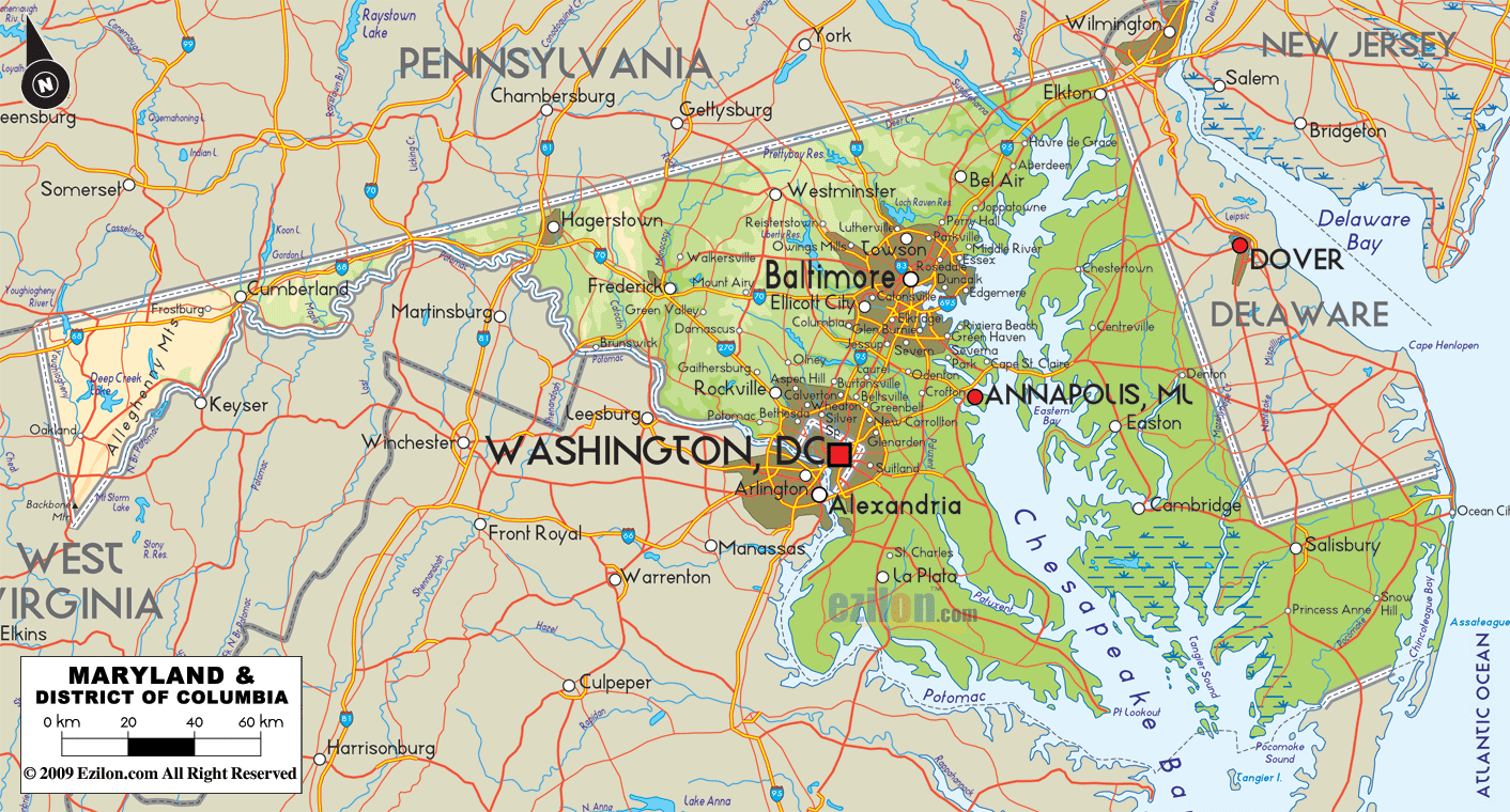
While in Virginia, Alexandria is sited on the Potomac river, just across from the southernmost tip of the city of Washington, DC, and is considered today to be part of the Washington, DC, metropolitan area. In the map above you can see the label for Washington, DC. At the end of the label you can see a large red box, marking the center of the District of Columbia (DC). Just to the south of that red box you can see the label Alexandria and the white dot that shows you the location of that town.
As you can see the 3 largest commercial airports that can be used to get to Alexandria are the 2 airports that serve Washsington, DC, and the 1 ariport that serves Baltimore.
On the next map you will see that interstate highways that can be used from any direction to get to Alexandria, VA.
Last update for this page:
